St. Aloysius Catholic School
St. Aloysius Catholic School introduced GIS to middle school students through its GIS club. After club members participated in GIS day 2016, GGI followed up by offering a story map lesson. The club members who participated in the competition created story maps to tell the story of recent crime events in the Baton Rouge area and provided solutions of ways to strengthen our community and work together. The student project, “Healthy Opportunities for People and Environments – Baton Rouge HOPE,” focused specifically on the two zip codes with the most crime, 70805 and 70802 and mapped out different churches, schools and sanctuaries that could serve people and make them feel welcome and less alone. The HOPE project can be viewed here.
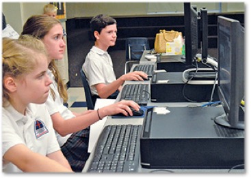
From left, St. Aloyisus students Katherine Winchester, Isabelle Gruner and Jensen Holliday work on their projects as part of the “Baton Rouge HOPE” GIS project. Photo by Debbie Shelley - The Catholic Commentator
St. Thomas Moore
For the final world geography project of the year, 90 Sophomore students at St. Thomas Moore Lafayette submitted projects for the statewide ArcGIS Online Story Map Competition on any subject related to Louisiana. Mary Barrilleaux and Lauren Lopez placed in the top five in the high school division of the with their project titled "Our Journey through Festival International." The duo completed their story map in two days as a geography class assignment on arcgis.com. Each student was awarded a cash prize of $100.
UPCOMING
GGI is partnering with a teacher, John Dupuis, and his students to correct the title wetlands mapping project. Fran Harvey and Dupuis will co-present at the LEESS Conference to demonstrate the use of story maps. Sign up for our GIS Bytes Newsletter to remain current with news and events related to GGI.
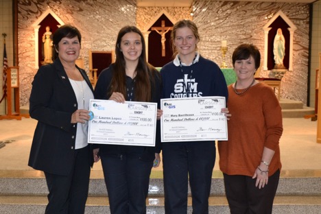
Pictured above are Fran Harvey with LARSGIS, Lauren Lopez, Mary Barrilleaux and STM Principal, Kelley Leger.
Cristo Rey Baton Rouge Franciscan High School
Cristo Rey Baton Rouge Franciscan High School has a corporate work-study partnership where two students are given the opportunity to work with GGI a weekly basis. In 2017, the students learned to utilize GIS to create story maps, the highlight of which was a project for the Baton Rouge Blues Festival. The story map included audio, snippets of each blues festival musician commonly known as this matter swamp blues musicians. Some of their other work-study projects included manning the GGI booth at the Mini Maker Faire at the Baton Rouge Library, lending assistance with our GIS Day Parish wide event on November 16. Both students are currently enrolled in the GIS Entry Level Course Pilot Project, a first step towards achieving GIS Industry Based Certification.
Hammond High Magnet School
Hammond High Magnet School is very actively involved in supporting the GIS IBC as part of their pre-engineering pathway. Several of their students are enrolled in the pilot project and serve in leadership roles in the 4-H Tech Club which was started in Tangipahoa Parish. Because of our participation in the National 4-H Leadership GIS GPS Team, GGI led the Louisiana Delegation last July in California.
In 2018, Fran Harvey and a student from the 4-H Tech Club were members of a nation-wide team that utilized GIS technology to create a model to raise awareness of community health. Through their project, students analyzed county v. state-wide data, factors and health outcomes across the United States. The result, “Country Health Rankings & Roadmaps”, is an integrative map that can be used to explore health rankings in each community.
4-H Tech Club
The 4-H Tech Club’s project for 2018, which is being used to qualify one of the new members for the national leadership team, is a service learning project using GIS to improve the quality of life in Hammond. Sixteen 4-H Tech Club members spent an afternoon in February 2018 in the field using their mobile applications to collect GPS data on the American Disabilities Act (ADA) ramps in the city of Hammond. The data attributes collected included whether an ADA ramp existed, whether the ramp was up to ADA code, and whether the ADA ramp’s curve needed repair. Approximately 196 data points were collected in less than two hours. The quality of that data was enhanced by the utilization of Trimble R2 Precision Antennas that were loaned to was by our industry partner, Navigation Electronics, Inc. A technician from NEI was on site to synchronize the R2 antenna with our Arc collector mobile devices or smart phones and ensure an accuracy of inches versus feet. This important project helped to further develop the students’ understanding of how to obtain quality accurate data and how to interpret that data in real world situations.
Lake Pontchartrain Basin Foundation
Lake Pontchartrain Basin Foundation partners with GGI for a Maps and Apps GIS Summer Program. Through this partnership, the foundation’s content of wetlands management and water quality tie in beautifully with the use of GIS for environmental monitoring. During the four-day summer GIS program, the participants are taught how to measure and monitor water quality in Lake Pontchartrain for two days and then spend one day in the wetlands marsh measuring vertebrae and one day participating in a clean trash sweep.
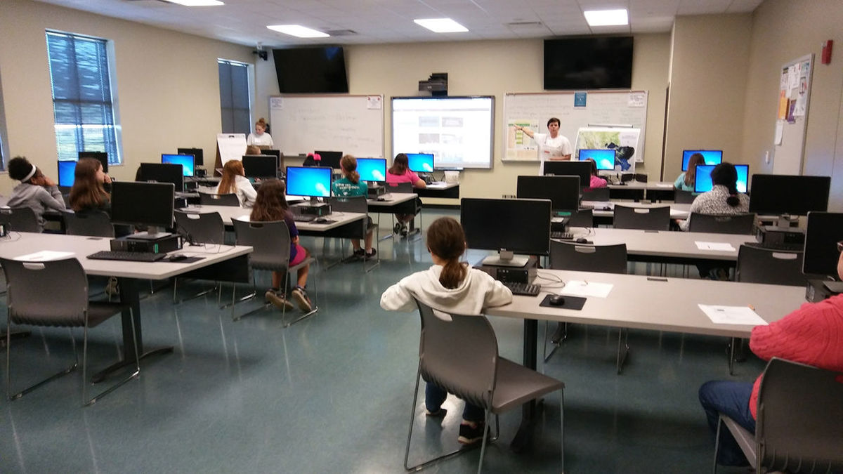
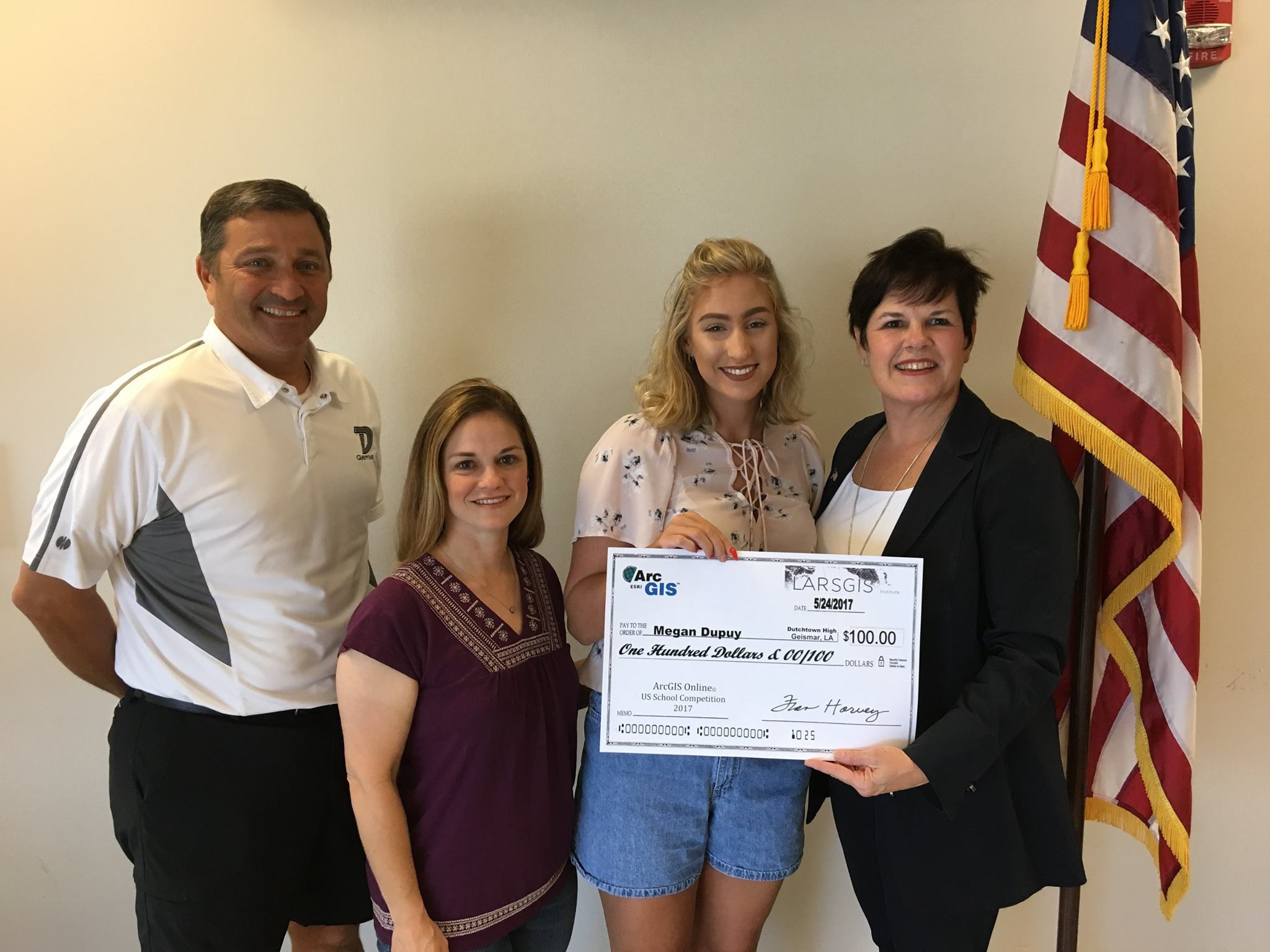
Dutchtown High School
At the GIS Maps & Apps camp held at Dutchtown High School in 2017, campers spent time both in the lab and outdoors collecting data while learning about coding drones, mapping, micro-enterprise and GIS careers. Megan Dupuy's GIS project, "Dandelion: A Very Beneficial Invasive Species" won a $ 100 prize and was voted in the top five of the ArcGIS Online US School Competition 2017.
River Parishes Community College
In 2017, River Parishes Community College and Girl Scouts Louisiana East hosted a STEM Day for 54 Girl Scouts in 2017. During the full day of activities, the girls experienced a college environment while participating in hands-on activities featuring science, technology, engineering and math. GGI Director, Fran Harvey, led a class on storyboarding. Other activities included virtual welding, environmental science and geographic information system technology.